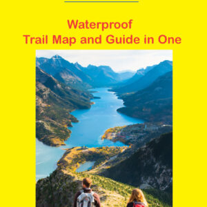
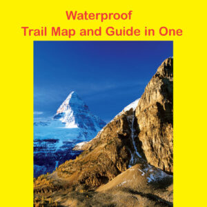
Description
The 7th edition of our Kananaskis Lakes map was released in 2019. New on this edition are trail descriptions on the back, a 1:50 000 scale enlargement of the immediate Kananaskis Lakes area, waterproof/tear- resistant plastic, 25 metre contour interval (more information than the government map) and our trademark relief shading.
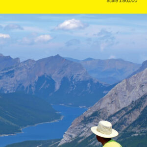
This map covers what some say is the most scenic terrain in all of Kananaskis Country • Peter Lougheed Provincial Park and the northern part of Elk Lakes Provincial Park. It takes in the upper Smith-Dorian-Spray Trail as well as the dense network of trails in the Kananaskis Lakes area accessed via Highway 40 .
Popular trails covered on this map include Chester Lake, Burstall Pass, Kananaskis Lookout, Upper Kananaskis Lake Circuit, Mt. Indefatigable and Ptarmigan Cirque.