Description
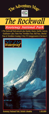
This 1:50,000 scale map covers the Rockwall Trail network in Kootenay National Park, British Columbia (BC). Also includes Stanley Glacier, Marble Canyon, Kaufmann Lake, Paint Pots, Vermillion Pass, Ball Pass, Ottertail Pass, Vermilion Crossing, and Highway 93 campgrounds and services.
Made specially for hiking, canoeing and other outdoor pursuits.

